
Urban Visualisation and Management (UVM) Systems specialises in 3D city modelling and real-time visualisation services.
Our know-how reaches from the data acquisition of urban areas over the reality-conform building modelling, the 3D modelling of planning data up to the 3D visualisation and virtual reality (VR) applications.
We offer services and our CityGRID solution, as well as perform custom software development.
3D urban modelling and real-time visualisation services
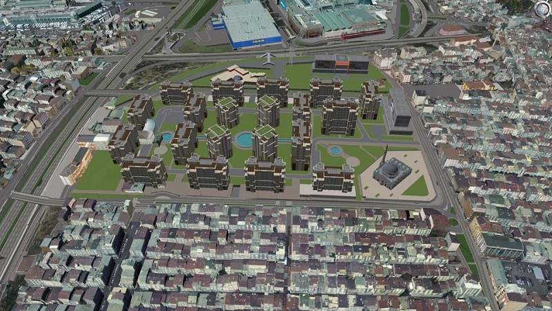
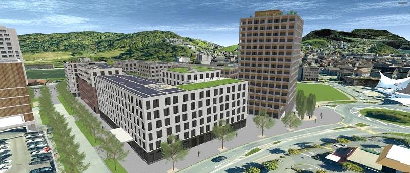
UVM Systems’ services are suitable for customers who want to simulate how planned construction projects fit into the existing environment.
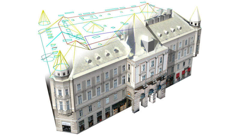
For reality-compliant 3D modelling of the environment, we can use existing laser scanning data or aerial imagery to derive terrain and building models. If the area of interest also includes mobile mapping data, we can use it for more accurate modelling of facades and street space. If no such data is available, or if the accuracy requirements are particularly high, we can also carry out a re-measurement of the project environment.
We can use all modern methods of photogrammetry and 3D laser scanning.
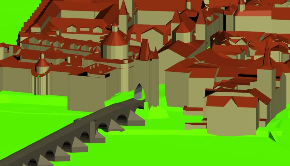
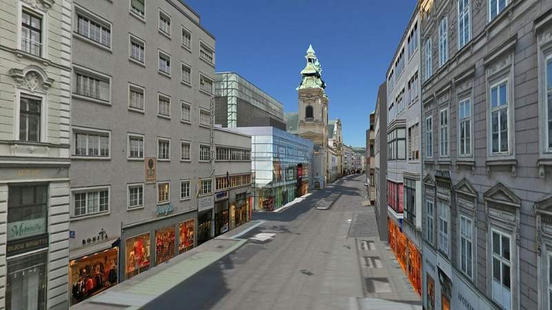
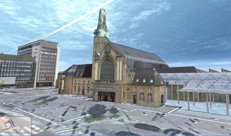
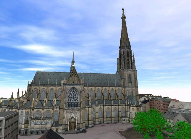
For efficient 3D modelling of existing buildings, we developed our CityGRID software. This allows entire city models to be created, refined, texturised and updated in different degrees of detail. CityGRID is also used by cities such as Vienna, Zurich or Hamburg to manage the 3D model.
3D simulations for structural models
UVM Systems can model planned structures based on 2D plans or we can take over existing 3D models, which are often created for static renderings and must be prepared by us for the fluent 3D visualisation.
Essential for the 3D simulation is the correct positioning, the so-called geo-referencing, of the planning model within the environment model.
We carry out all these steps in consultation with the planners or the project operators. It is important to us that the 3D simulation becomes an integral part of the planning process, which helps to identify and correct possible conflicts of the planned project with the existing environment at an early stage.
In our experience, such conflicts can be detected much better by simulation with a 3D visualisation that allows you to move more freely than with videos or static renderings.
3D visualisation software and technologies
For the creation of 3D visualisations, UVM Systems has developed our own modules of our CityGRID software based on Unity technology.
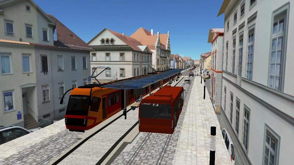
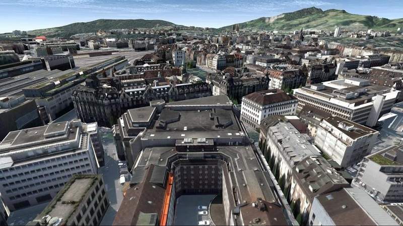
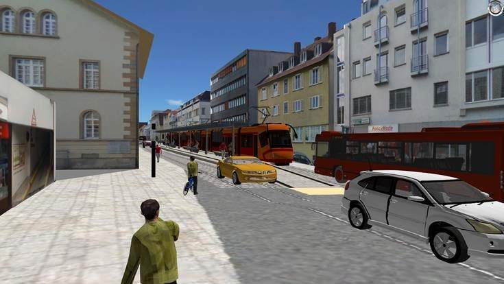
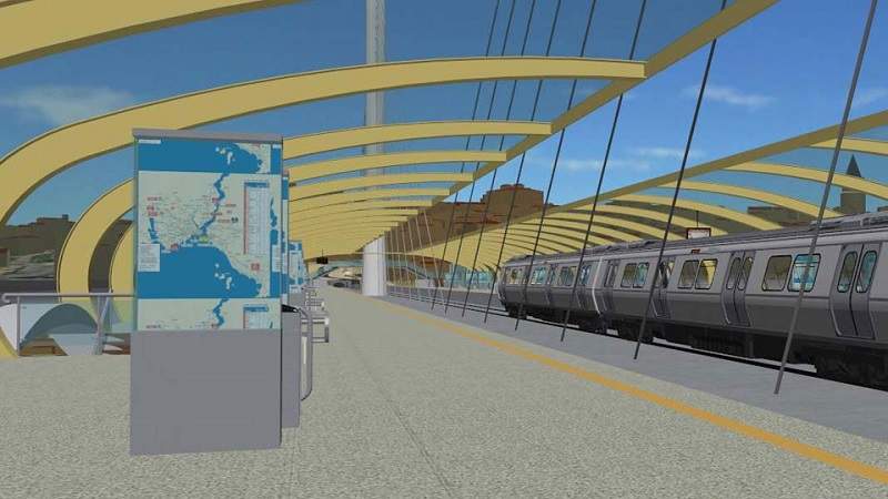
We can visualise both extensive landscape and urban models, as well as the more detailed planning models embedded in them. On request, the visualisation can be made even more vivid by moving vehicles and people, and can also viewed via monitor, VR glasses or the internet using a web browser or mobile device.
In our 3D visualisation, camera paths can be defined quite easily and high-definition (HD) videos can be rendered. With all these possibilities, we always make sure that the 3D visualisation can be adapted as easily as possible to new planning variants or improved environment models.
As a supplement to 3D visualisation, we can also prepare the models we have created for 3D printing. Large models are automatically divided into smaller tiles using our CityGRID software. The terrain can also be printed in steps in order to see differences in altitude more clearly.
About UVM Systems
UVM Systems was founded in 2011 in Klosterneuburg near Vienna, Austria.
Comprising software developers, surveyors and experts, our team can cover a wide array of tasks, ranging from 3D data acquisition through modelling to 3D visualisation.
Our customers include municipalities along with project developers and planners.